Torremolinos, Andaluzia, Spain
Suggest Place to Visit
5833
Track to location with GPS |
 |
Although some historians assure that certain molded stones, found on our beaches and hills, would justify the human presence in Torremolinos 150,000 years ago, the strongest evidence of our Prehistory would be found in the nine human skulls, dozens of bones, clay pots, points of ax and arrows, necklaces and bracelets ornaments, a ring and some animal bones that appeared in the excavations carried out in the now disappeared, Cuevas del Tesoro, Cueva Tapada, Cueva de los Tejones and Cueva del Encanto, in what is known as Punta de Torremolinos, today Castillo de Santa Clara and surroundings.
The detailed study of these pieces places them in the so-called Neolithic Period of the Quaternary Era, some 5,000 years before the birth of Christ, a period characterized by the fact that primitive man learned to cultivate the fields, to practice livestock, to make pottery, to weave wool. and to work the stone to obtain domestic and hunting utensils. Metals were not yet known.
Vessel
These characteristics are in perfect agreement with the remains found here, in our caves, which comes to tell us that those primitive Neolithic settlers of Torremolinos were not only potters, but also knew the rope (since they used it as an ornament in their vessels) , They knew their braiding to hold the stones of their axes and arrows, the ornaments of their necklaces and bracelets and also, it is to be supposed, that they knew how to weave and make their own dresses.
Now, we wonder, what would those men and women look like?
Some historians conclude that they were short (1.50 or 1.60 m.), Dolichocephalic skull (head longer than wide), sunken forehead and nose and Negroid features, based mainly on the opening of the nostrils itself.
They also deduce that they lived mainly under the roof, in primitive huts and that they used the caves as occasional shelter and as tombs, in which they placed the corpses seated, their backs leaning against the wall, covered with ornaments and in the company of some domestic animal , like the pig, following the general custom throughout Europe in the Neolithic Period.
In summary, people more hunter and industrialist than warrior and, although some ornaments on their necklaces and bracelets were made from the shells of some mollusks, it can be assured that they were not seafaring people, nor did they use hooks or other fishing utensils to obtain food from the sea. . This is a strange and significant detail, since they most certainly lived near its shores.
Ptolemy, a Greek astronomer born two centuries before Christ, said that very close to here, between the right bank of the Guadalhorce River and the land that today occupies the Parador de Golf, the Phoenicians founded a city called Saduce, which had great influence on the Mediterranean as a river port, but of whose existence there are hardly any remains.
The Greeks were not great adventurers, of whom we have no evidence on our coast, although we do have evidence of the Romans, who 2,000 years ago built a road several meters wide that linked Gades (Cádiz) with Malaka (Málaga) and which crossed Torremolinos from end to end, almost reaching the beach in the Playamar area, it continued in front of Los Álamos and climbed towards Churriana, near the walls of Camp Benítez.
On both sides of this road they built villas and fish salting factories. Of the eleven factories that are known, three were located in our municipality. One near what we know today as Camp Benítez, on the Cizaña Baja farm, whose remains are still preserved, another disappeared in Los Álamos; and a third near the cliffs of La Roca, in Bajondillo, also missing.
salting factory
The chronicles say that in the year 1881 a strong storm uncovered, also in the La Roca area, a thermal pool, a room with a mosaic of colors and a room, a kind of changing room of a public bath enclave, very important in the Roman Era, since some authors of that time, almost 2,000 years ago, such as Pliny the Elder and Pomponio Mela cite it in their writings.
There are also testimonies from some neighbors who assure that, when the Los Álamos Urbanization was built, some sarcophagi and Roman remains appeared, but there is no documentation on the find, and if it were true, no one knows where they went.
Unfortunately, just as it happened with the Prehistoric Caves that were referred to at the beginning, nobody stopped to think about the importance that all these remains would one day have in the history of our people, so they covered and built them on top, losing themselves with it a part of ourselves. At the beginning of the 90s, in a place near the Plaza de Cantabria, a small Roman necropolis has appeared, and in a first fortuitous excavation, three tombs built with tegulas have been found, inside which we have found abundant human remains, which together with The remains of salting piles and other disappeared remains, leads us to conclude that there was a town near that area whose age we can estimate at about 2,000 years.
Around 1,300 the Muslim Dynasty of the Nasrid, which reigned in Malaga from the 13th to the 15th centuries, built the Defense Tower located at the end of Calle San Miguel, already known in the Ordinances of 1,497 as ´´Torre de los Molinos ´´, and years later also called Pimentel, in honor of D. Rodrigo Pimentel, Count of Benavente (Zamora), who militarily helped the Catholic Monarchs with 2,000 horses and 4,999 pawns in the Campaign of the conquest of Granada and the Taking from Malaga back in 1,487, five years before Columbus discovered America.
The Tower is 12 meters high, made of mud adobe, and was made up of two floors with windows overlooking the sea and a terrace. You enter it by a staircase that leaves the old Molino del Rosario. To this day, it is completely demolished inside and some cracks endanger its facade.
Surely, attracted by our waters and springs, some illustrious Moors would have villas and palaces around here, but if there were, time and the hand of man did not leave us any trace of their existence.
Although there are historical records that Torremolinos was already a ´´population´´ in 1.801, and we even know that Antonio de Montes Díez was its Mayor, there are references from neighbors long before it.
The Archives of the Cathedral of Malaga say that on May 5, 1.503, the guard of the tower located in the Term of Torremolinos ´´that was said by name Alonso Martín´´, warned Mr. Corregidor that he had sighted five ships Blackberries stuck in the high seas, so he put the troops on alert and went to avoid danger.
The municipality of Torremolinos occupies a narrow coastal strip at the foot of the eastern foothills of the Sierra de Mijas, which falls into the sea forming a large slope partially covered by some pine forests. The rest of the territory is almost totally urbanized. Towards the northeast, the coastal strip opens towards the low valley of the Guadalhorce, while towards the opposite side the strip presents a more mountainous orography.
Punta de Torremolinos is the most remarkable coastal accident. It is a small cliff top that once divided the municipality's beaches in two, although later a promenade was built that saves it on land reclaimed from the sea. On both sides of the tip are two of the oldest neighborhoods in Torremolinos: La Carihuela, to the south, and El Bajondillo, to the north. The third original population nucleus is located in a northwesterly direction from the same point: the El Calvario neighborhood. To the north of this and to the west of La Carihuela are located Montemar and El Pinillo, of more recent origin. Other modern neighborhoods are located north of El Bajondillo and El Calvario, such as Playamar, La Colina and Los Álamos.
Situation [edit]
Torremolinos limits to the northeast with the Churriana district of Malaga, to the east and southeast with the Mediterranean Sea, to the southwest and west with the municipality of Benalmádena, and to the northwest with the municipality of Alhaurín de la Torre.
Northwest: Benalmádena and Alhaurín de la Torre Norte: Málaga and Alhaurín de la Torre Northeast: Málaga
West: Benalmádena Brosen windrose.svg East: Mediterranean Sea
Southwest Benalmádena South: Mediterranean Sea Southeast: Mediterranean Sea
Climate [edit]
Due to its geographical location, Torremolinos enjoys maximum temperatures between 15 and 30 ° C and a humidity of approximately 75%. Rainfall reaches 500 l / m², with the wettest months being November and February. [8]
Demography [edit]
Torremolinos is one of the most multicultural municipalities in Andalusia. People of up to 130 different nationalities reside here throughout the year, to which should be added those who spend only seasonally in the city. The foreign population registered in the locality amounts to 26% of the total, of which 75% comes from countries of the European Union, mainly the Netherlands, Germany, France, Scandinavia and, above all, the United Kingdom, whose citizens they form the largest group. Of the rest of the world, the number of citizens from North Africa, mainly Morocco, Ibero-Americans and the growing Chinese community stand out for their number. [9]
Following the trend of other points on the Spanish Mediterranean coast, Torremolinos has experienced rapid population growth since the 1960s. [10] Thus, from 27,543 inhabitants that the municipality had in 1991, it has risen to 63,077 recorded by the INE in 2008. By population, Torremolinos is the sixth municipality in the province. [11]
Demographic evolution [12] 1842 1877 1887 1900 1910 1920 1924-1988 1991 2001 2008
785 2,131 2,390 2,991 2,925 3,028 Integrated in the
Municipality of Málaga 27,543 44,772 63,077
Economy
The main economic activity in Torremolinos is tourism and the activities derived from it. With more than 80 hotels and hostels that add more than 20,000 beds, [4] it is the second Spanish municipality with the largest number of hotel beds and the main tourist destination in Andalusia. The hotel offer is completed with a significant number of restaurants and shops.
LGBT establishment.
Special mention should be made of the night-time economy, for which Torroles differs from other coastal towns, concentrating a large part of the leisure offer on the Costa del Sol in terms of bars and discos and nightlife in general, the foam parties being famous and the premises for the LGTB public, which attract many people from all over the province and other parts of Andalusia during the weekends and summer months. [21]
Agricultural and industrial activities are merely anecdotal. The cultivated area barely adds 50 ha occupied by orange trees, ornamental plants and olive groves, while the livestock census is made up of 10 bovines and 44 goats. [22] Fishing, which until the 1950s was the main source of income for Torremolinos, [23] is also marginal, since the municipality does not have any port in its territory.
Transport and communications [edit]
Places of interest [edit]
Las Tres Torres, by Luis Alfonso Pagán.
The commercial street par excellence is Calle San Miguel, located in the old town. At the end of this street is the Torre Molinos and not far from the Castillo del Inglés or Santa Clara. Notable buildings include the Hotel Pez Espada and the Pablo Ruiz Picasso Cultural Center, both declared or in the process of being declared a Site of Cultural Interest (BIC). Other buildings of interest are the Casa de los Navajas, in neo-Mudejar style, and the Church of San Miguel Arcángel, as well as the Costa del Sol Conference and Exhibition Center and the Prince of Asturias Municipal Auditorium, where the biggest events are held. from the city.
La Nogalera set.
Although the urban development of Torremolinos is a clear example of the disorderly growth of the Spanish coast in the second half of the 20th century, some of its buildings constitute excellent examples of the architecture of the Modern Movement, such as the Aladdin Bazaar, an exponent of the so-called relaxation style . Other notable buildings are the La Nogalera complex, the work of Antonio Lamela Martínez, built in 1963; the Hotel Carihuela Palace (1960), by Manuel Jaén; the Eurosol ensemble (1963), by Rafael de la Hoz and Gerardo Olivares; the Playamar urbanization (1963), also by Antonio Lamela; the Hotel Cervantes (1970), by Fernando Rodríguez and Ricardo Álvarez de Toledo; Las Tres Torres (1971), by Luis Alfonso Pagán, inspired by the White Towers of Madrid by Sáenz de Oiza; the Castillo de Santa Clara building (1971), by José Mª Santos Rein; and the Entreplazas center. [16]
Also of architectural interest are the many elegant villas in the Montemar area, built in the 1940s, 1950s and 1960s.
Beaches [edit]
El Bajondillo beach.
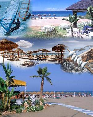
The main tourist attraction in Torremolinos are its beaches. The municipal term has almost 7 kilometers of coastline, its main beaches being Los Álamos, Playamar, El Bajondillo, La Carihuela, Montemar and El Saltillo. These are urban beaches accessible from the Paseo Marítimo. In general, they have dark sand and moderate waves and present a high level of occupation during the summer months. The most popular are the beaches of El Bajondillo and La Carihuela, located in the urban center. The first is more than a kilometer long by 40 meters wide. La Carihuela is about the same width and about 2 kilometers long. This beach is located in the old fishing district of the same name, where there are plenty of fried fish restaurants.
Green areas [edit]
The largest green areas in the city are the Los Manantiales de Torremolinos-Molino de Inca Botanical Garden Complex and La Bateria Park. The first is where the original springs of Torremolinos are located and concentrates more than 150 palm trees of 50 different types, as well as about 300 trees of 60 different species and about 400 bushes also varied. La Bateria has a central navigable lake and a lookout tower with views of the coastline. It is located on land that was once antiaircraft batteries used during the Civil War and contains several cannons and an area of passageways and bunkers.
Leisure centers include the Aqualand water park and the Crocodile Park, a zoo dedicated to crocodiles and other reptiles and amphibians.
Comments
We don´t have yet any comments about:
Torremolinos city
Torremolinos city
Be the first to leave a comment as it is very important to inform other people
Outros locais a visitar
Within a radius of 20 km from:Torremolinos city
Praia Fuente de la Salud (Benalmádena) |
| 4,1 Km |
 |
Praia de Torrebermeja (Benalmádena) |
| 4,5 Km |
 |
Sea Life Benalmadena (Andaluzia) |
| 4,9 Km |
 |
Praia de Malapesquera (Benalmádena) |
| 5,1 Km |
 |
Praia de Santa Ana (Benalmádena) |
| 5,7 Km |
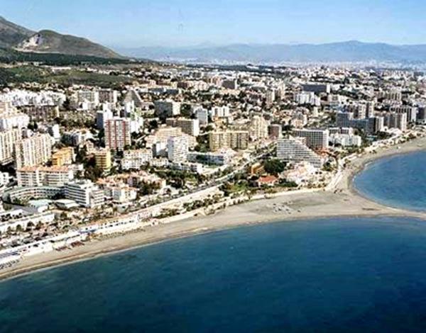 |
Parque de la Paloma (Benalmádena) |
| 5,8 Km |
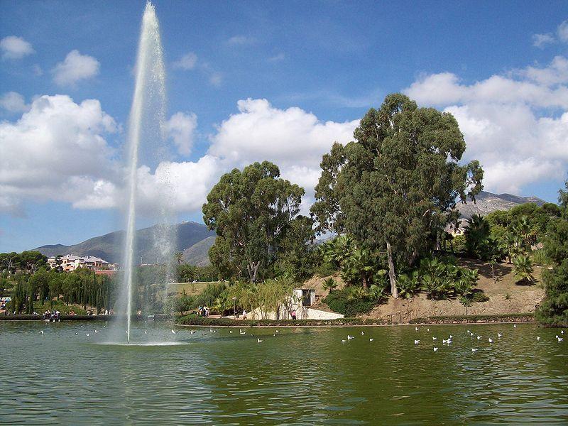 |
Selwo Marina (Benalmádena) |
| 6,2 Km |
 |
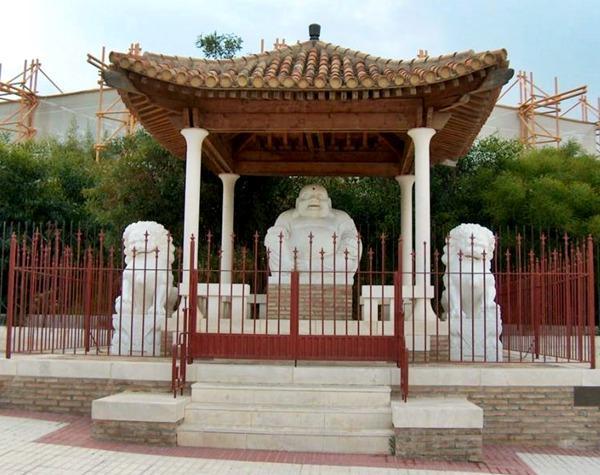
Templo de Buda (Benalmádena) |
| 6,2 Km |
 |
Tivoli World (Benalmádena) |
| 6,3 Km |
 |
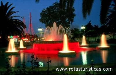
Tivoli World |
| 6,3 Km |
 |
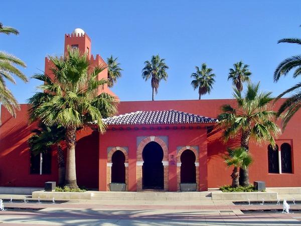
Castelo de Bil Bil (Benalmádena) |
| 6,3 Km |
 |
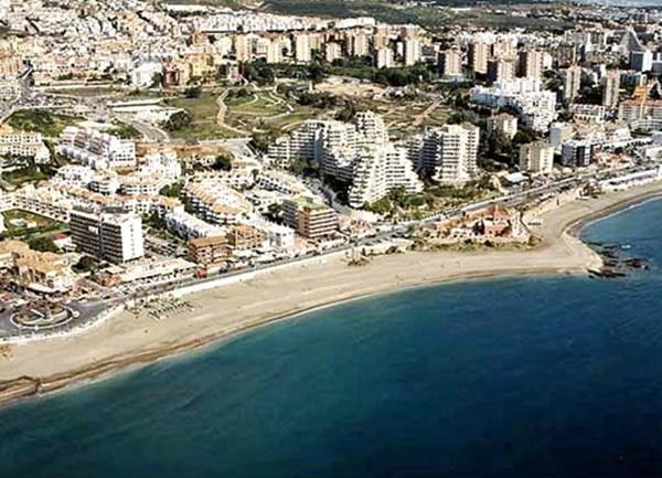
Praia de Bil Bil (Benalmádena) |
| 6,4 Km |
 |
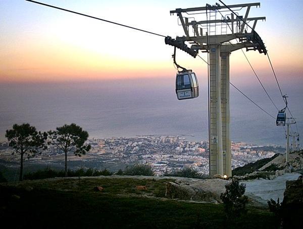
Teleférico de Benalmádena (Andaluzia) |
| 6,5 Km |
 |
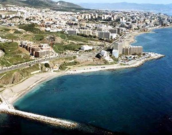
Praia de Torrevigía (Benalmádena) |
| 7,6 Km |
 |
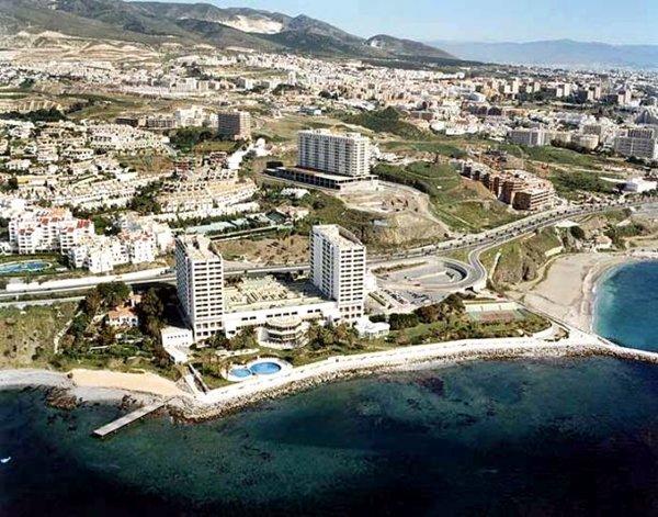
Praia de Torrequebrada (Benalmádena) |
| 7,9 Km |
 |
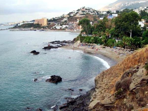
Praia de las Yucas (Benalmádena) |
| 8,2 Km |
 |
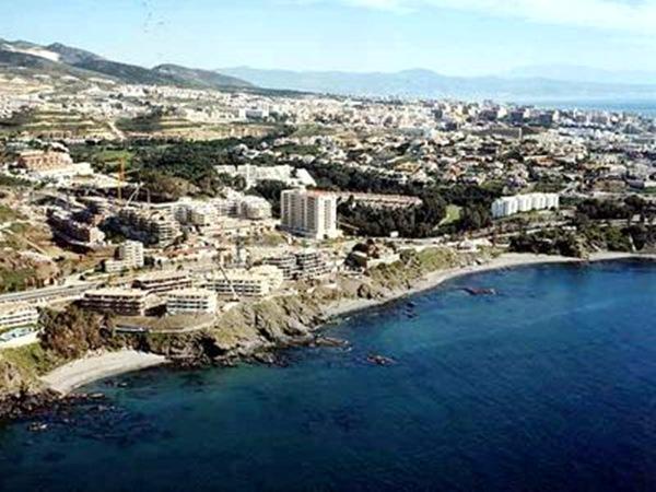
Praia de la Viborilla (Benalmádena) |
| 8,5 Km |
 |
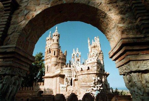
Cidade de Benalmádena |
| 8,7 Km |
 |
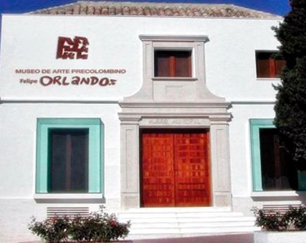
Museu Pré-colombiano de Arte Felipe Orlando (Benalmádena) |
| 9,0 Km |
 |
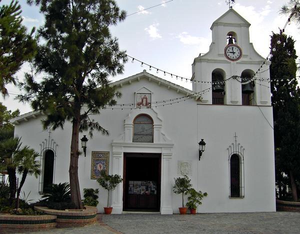
Igreja de Santo Domingo de Guzmán (Benalmádena) |
| 9,1 Km |
 |
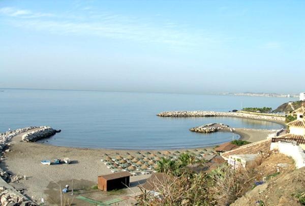
Praia de Arroyo Hondo (Benalmádena) |
| 9,2 Km |
 |
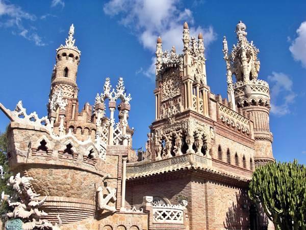
Castelo Monumento de Colomares (Benalmádena) |
| 9,5 Km |
 |
Praia de Arroyo de la Miel (Benalmádena) |
| 9,6 Km |
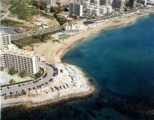 |
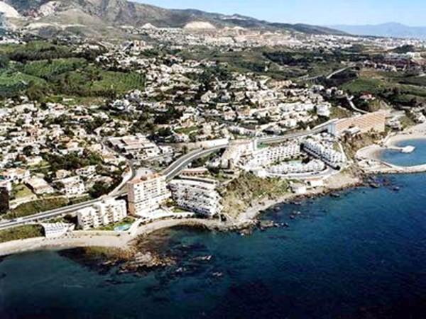
Praia de Torremuelle (Benalmádena) |
| 9,7 Km |
 |
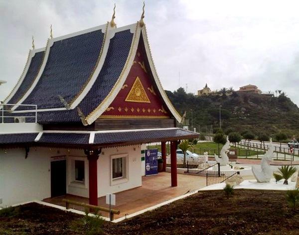
Parque das Borboletas de Benalmádena |
| 10,0 Km |
 |
Mariposario de Benalmádena-Butterfly Park |
| 10,0 Km |
 |
Stupa de iluminação (Benalmádena) |
| 10,0 Km |
 |
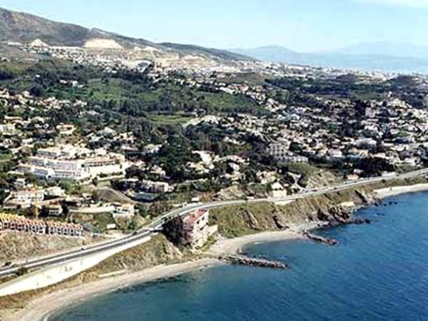
Praia la Perla ou la Morera (Benalmádena) |
| 10,2 Km |
 |
Centro De Arte Contemporáneo De Málaga |
| 10,4 Km |
 |
Praia de Tajo de la Soga (Benalmádena) |
| 10,7 Km |
 |
Málaga |
| 11,2 Km |
 |
Málaga Cathedral |
| 11,2 Km |
 |
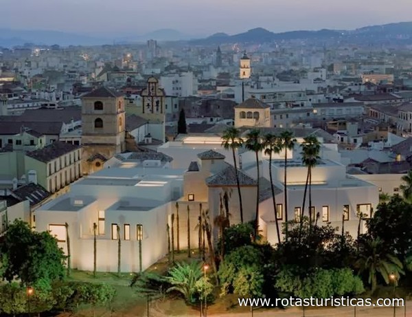
Picasso Museum Málaga |
| 11,5 Km |
 |
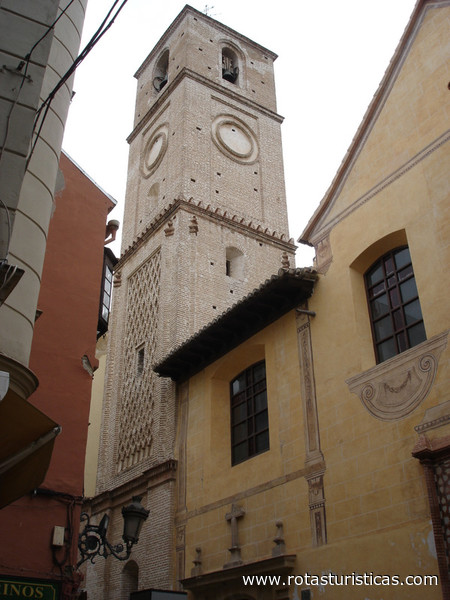
Iglesia de Santiago |
| 11,6 Km |
 |
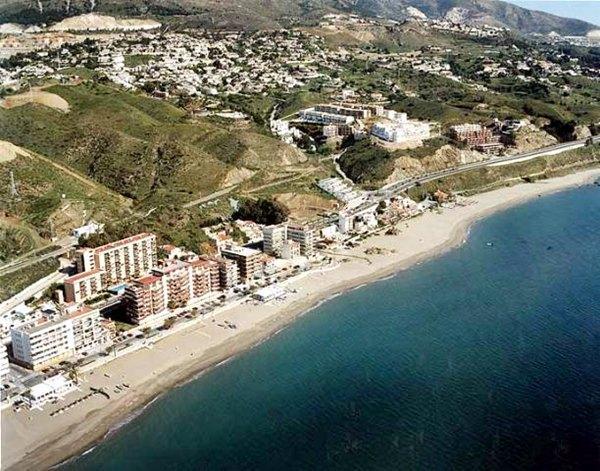
Praia de Carvajal (Benalmádena) |
| 11,6 Km |
 |
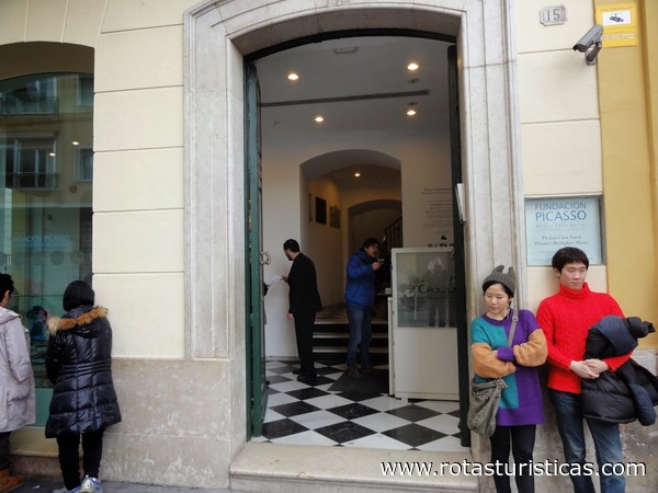
Fundación Picasso |
| 11,7 Km |
 |
Jardín Botánico-Histórico La Concepción |
| 15,1 Km |
 |
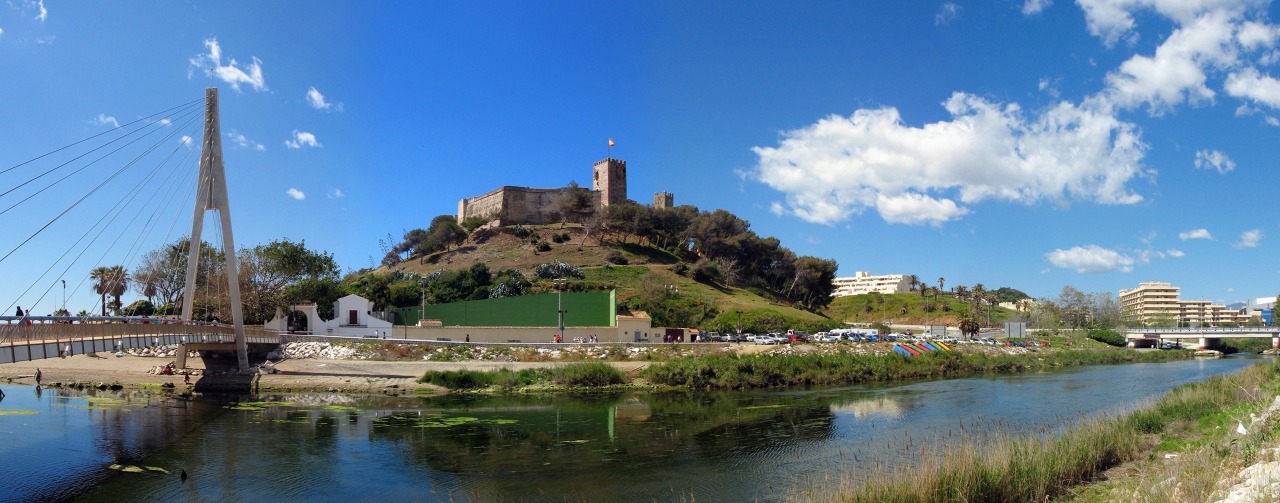
Sohail Castle |
| 17,7 Km |
 |
Hotel reservation near Torremolinos city within a radius of 20 km
Why to book with CLUBE TRAVEL
The best prices
Our partnerships with the world´s largest operators offer research on the best market prices.
More options
At Rotas Turisticos you can book the hotel, buy the air ticket, book the transfer from the airport to the hotel and vice versa, book the local excursions, rent the car, take travel insurance and consult the places to visit and where to go.
Holiday Tips & Destinations
Hundreds of holiday destinations with all the options that allow you to easily choose the destination that best suits your dream vacation.
CLUBE TRAVEL
Links


