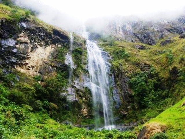
, Cauca, Colombia
Suggest Place to Visit
588
Track to location with GPS |
 |
Date of Foundation: April 18, 1913
Name of Founder (s): Cristobal Cerón
Historical Review:
The population of the Sierra is about 400 years old, since the first Spaniards settled in the area of Árvore. According to residents, the municipality of Serra has three settlement sites: the first important city was in Losboles, as it had the influence of a mining region and the crossing of roads to Almaguer, which was then a region of great economic activity; It was named after very thick and burly trees.
When this city was destroyed, people moved to the Pueblo Viejo sector and then to where it is currently located and the community remains for approximately 107 years. At present Serra, about twelve families settled, because the rest of the population dispersed; some left for Roses; which at that time was called Dolores and others stayed in Pueblo Viejo; After 10 years they returned to join the Serra community. There are currently some sons of the founders; The last founders died about five years ago, aged 109 to 110 years.
(According to a document dated November 12, 1917) The town where the county seat is currently located was founded in approximately 1884 after a fire in the area called Pueblo Viejo, one kilometer from the present headquarters. . 18 Between 1884 and 1894, families were clearing the land and looking for where to locate and where to locate the Temple; until they found the best place and the building of the temple was what drew them most strongly to the colonization of the new population, because it was a Catholic community that people wanted to gather around the temple. Mr. Cristóbal Muñoz is known as a founder. Other early founders were Mr. Juan Domingo Cruz, Isidro Muñoz, Patricio Cruz, Nicolás Flórez and Petrona Muñoz. The name La Sierra was adopted by location as they are located at the end of a mountain range that rises on the hill called Surco Mine. The mountain range goes down to the valley of Patía; It seems that the sector was also called Serranía de Mina Surco.
The municipality of Serra has a length of 217 km2 and is an integral part of the natural region called Massif Colombiano, composed by the municipalities of Rosas, La Sierra, La Vega, Almaguer, Bolivar, San Sebastián and Santa Rosa. provides the most relevant geographical features for the municipality; It has an average height of 1,633 meters, is located at 1,760 msm and has an average temperature of 18º in a humid climate corresponding to the pre-forest system, although it has the different thermal floors: hot, medium and cold.
The Sierra has a very broken mountain geomorphology, whose maximum height is 3,000 meters above sea level, and is the main municipality of waters. Its location confers relevance in the region as a road meeting point and is considered the gateway to the Colombian massif; It is a 90-minute drive from Popayán, 38 km from Rosas Municipal Headquarters by the Panamerican Highway and 20 km by road from La Sierra Municipal Head.
Comments
We don´t have yet any comments about:
La Sierra
La Sierra
Be the first to leave a comment as it is very important to inform other people
Outros locais a visitar
Within a radius of 20 km from:La Sierra
Unfortunately we do not have information on other places to visit in this area yet
Hotel reservation near La Sierra within a radius of 20 km
No results
Why to book with CLUBE TRAVEL
The best prices
Our partnerships with the world´s largest operators offer research on the best market prices.
More options
At Rotas Turisticos you can book the hotel, buy the air ticket, book the transfer from the airport to the hotel and vice versa, book the local excursions, rent the car, take travel insurance and consult the places to visit and where to go.
Holiday Tips & Destinations
Hundreds of holiday destinations with all the options that allow you to easily choose the destination that best suits your dream vacation.
CLUBE TRAVEL
Links


